
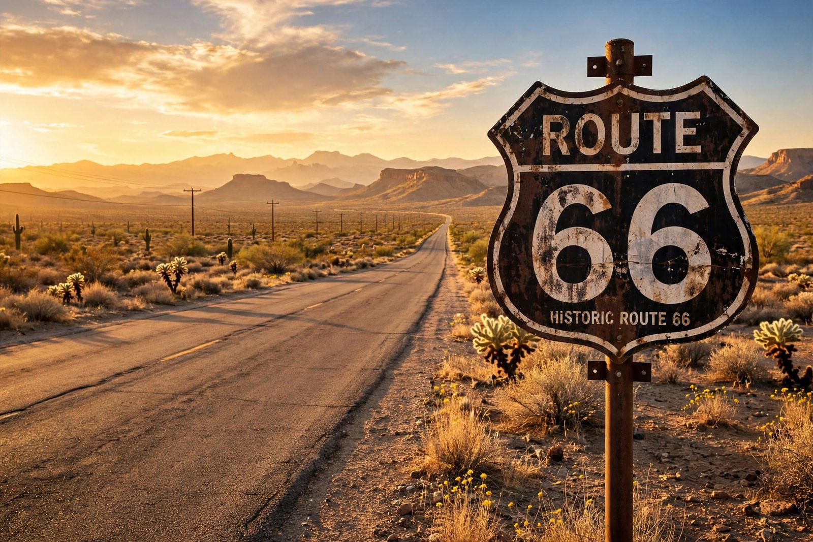
There is a road in America that no longer officially exists, yet millions of people still dream of driving it. It runs from the skyscrapers of Chicago to the Pacific Ocean at Santa Monica, through eight states and three time zones, past neon motels and desert sunsets. It carried Dust Bowl families searching for a new life, soldiers heading to war, and postwar families on their first great road trips. It was the Main Street of America and the Mother Road, and in 2026 it turns one hundred years old.
U.S. Route 66 was never the longest highway in America, and it was never the fastest. What made it famous was the road ordinary Americans actually traveled — the one that came to stand for freedom, movement, and the open road itself. These are the facts behind the legend.
The Birth of the Mother Road
Route 66 was one of the original highways of the United States Numbered Highway System, created in the 1920s to give the country a coherent network of marked roads. Before then, long-distance driving meant following a patchwork of local roads, dirt tracks, and named auto trails. The new system stitched existing state and local roads together into numbered national routes.
The road’s name has a famous origin story. The Chicago-to-Los Angeles route was first designated U.S. Highway 60, but Kentucky objected because its own road already carried that number in the national plan. After the number 62 was also floated, promoters John Woodruff of Springfield, Missouri, and Cyrus Avery of Tulsa, Oklahoma, sent a telegram to federal authorities on April 30, 1926, proposing the number 66. The proposal was approved, and the highway was officially commissioned on November 11, 1926. Springfield, Missouri, is still recognized as the birthplace of Route 66.
When it was commissioned, the route stretched 2,448 miles from Chicago through Missouri, Kansas, Oklahoma, Texas, New Mexico, and Arizona to California. Only about 800 miles of it was paved at the start; the rest was graded dirt, gravel, brick, or wooden planks. It was not fully paved from end to end until 1938. A realignment in 1937 straightened the route through New Mexico, bypassing Santa Fe in favor of Albuquerque and shortening the road to about 2,280 miles. Britannica’s history of Route 66 traces these early twists, and the National Park Service explains the road’s origins in the wagon roads and auto trails that came before it.
The Dust Bowl Years: A Road to Hope
Route 66 earned its most famous nickname during the hardest years of the Great Depression. In his 1939 novel The Grapes of Wrath, John Steinbeck called it the “Mother Road,” the road that carried the Joad family and thousands of real families like them out of the Dust Bowl toward California. The name stuck, and so did the image: a beaten-up truck loaded with everything a family owned, heading west on a two-lane highway toward a hoped-for better life.
The migration was real, and it was enormous. The Dust Bowl drought, which gripped parts of Oklahoma, Texas, Kansas, Colorado, and New Mexico from 1930 to 1936, ruined farms across the southern Plains. The National Park Service’s special resource study of Route 66 estimates that about 210,000 people migrated to California to escape the despair of the Dust Bowl, and Route 66 was the main road they traveled. It was, in the Park Service’s words, the path to hope.
The road also became a lifeline in another way. From 1933 to 1938, Route 66 offered work to thousands of unemployed men who paved the highway as part of Depression-era relief efforts. By the time the paving was finished in 1938, the road was not just a route to California — it was a symbol of the country pulling itself out of the Depression, one mile at a time.
The Golden Age of the American Road Trip
After the war, Route 66 entered its golden age. Returning veterans bought cars, families had money to travel, and the open road became the great American vacation. The highway filled with the roadside America we still picture today: neon-signed motels with names like the Wigwam and the Blue Swallow, diners serving pie and coffee around the clock, gas stations with towering signs, and giant statues — a blue whale in Catoosa, Oklahoma, a giant muffler man in Illinois, a tow truck in Galena, Kansas, that helped inspire a character in Pixar’s Cars.
Small towns along the route built their economies around the traveler, and every stop meant a meal, a tank of gas, or a night in a motor court. The roadside businesses competed for attention with ever-bolder signs and stranger attractions, and the result was a strip of pure Americana that no interstate could ever match.
The road’s fame spread through popular culture. Bobby Troup’s song “(Get Your Kicks on) Route 66” became a standard, recorded by Nat King Cole and many others, and its roll call of cities — St. Louis, Joplin, Oklahoma City, Amarillo, Gallup, Flagstaff, Winona, Kingman, Barstow, San Bernardino — taught a generation of Americans the geography of the route. Television followed with the series Route 66 in the early 1960s, and the highway’s image as the road to freedom and adventure was fixed for good.
The Fall: How the Interstates Replaced Route 66
The beginning of the end came in 1956, when President Dwight D. Eisenhower signed the Federal-Aid Highway Act, launching the Interstate Highway System. The new interstates were wider, faster, and safer than the old two-lane highways, and they were built to bypass the towns that Route 66 ran through. One by one, the old road’s segments were replaced: Interstate 55 from Chicago, Interstate 44 through Missouri and Oklahoma, Interstate 40 across the Southwest, and finally Interstates 15 and 10 into Los Angeles.
The end came quietly. In October 1984, Interstate 40 bypassed the last remaining section of Route 66 at Williams, Arizona. On June 27, 1985, the American Association of State Highway and Transportation Officials formally removed U.S. Route 66 from the United States Highway System. The highway that had defined the American road trip was officially gone, less than sixty years after it was born.
What Remains: Driving Historic Route 66 Today
Route 66 may be decommissioned, but it never really disappeared. About 85 percent of the historic alignment is still drivable today, mostly as state and local roads marked with brown “Historic Route 66” signs. Portions in Illinois, Missouri, New Mexico, and Arizona are designated together as the Historic Route 66 National Scenic Byway, and the California section between Needles and Barstow joined the program in 2021.
The route still rewards travelers who take it slowly. In Illinois, the road begins in downtown Chicago at the “Begin Route 66” sign on Adams Street, then runs southwest through Springfield — Abraham Lincoln’s hometown — and past the Route 66 Hall of Fame in Pontiac. The Illinois section was fully paved from the start, and the Park Service’s guide to Illinois road segments shows how much of the original roadbed survives, some of it listed on the National Register of Historic Places.
Kansas has the shortest stretch of Route 66, only about 13 miles, but it packs in the town of Galena, the old mining town of Riverton, and Baxter Springs, the first cow town in Kansas. Oklahoma has one of the longest stretches, roughly 400 miles, running through Tulsa and Oklahoma City and past the Blue Whale of Catoosa and the Round Barn in Arcadia. In Texas, the road crosses the Panhandle through Amarillo, home of the Cadillac Ranch art installation, and Adrian, where the Midpoint Cafe marks the exact halfway point, 1,139 miles from Chicago and 1,139 miles from Santa Monica.
Farther west, the road climbs through New Mexico’s high desert to Albuquerque and Gallup, crosses the painted desert of Arizona through Holbrook and Winslow — the town name-checked in the Eagles’ “Take It Easy” — and runs through Seligman, the town that sparked the revival. In California, it crosses the Mojave Desert past Roy’s Motel in Amboy and the Wigwam Motel in San Bernardino, ending at the Santa Monica Pier, where a sign marks the end of the trail.
Seligman and the Revival
The revival of Route 66 began in a small Arizona town that refused to die. When Interstate 40 bypassed Seligman in 1978, local businesses collapsed almost overnight. But in 1987, Seligman barber Angel Delgadillo and other business owners founded the Historic Route 66 Association of Arizona, and the state designated the road between Seligman and Kingman a historic route that same year. Seligman began promoting itself as the birthplace of Historic Route 66, and travelers started coming back.
The idea spread. State associations formed along the entire route, preservationists documented surviving roadbeds and buildings, and Congress passed the Route 66 Study Act in 1990, directing the Park Service to study how to preserve the corridor. Today, the Route 66 Corridor Preservation Program supports preservation projects across all eight states, and the road’s neon signs, motels, and diners are recognized as a genuine part of American heritage rather than just roadside clutter.
Route 66 in Popular Culture
Few highways have inspired as much art as Route 66. Steinbeck gave it its nickname. Bobby Troup’s song made it a singalong. The 1940 film of The Grapes of Wrath fixed its Dust Bowl image in the American mind. The television series Route 66 turned it into a symbol of restless freedom. And in the 2000s, Pixar’s Cars drew directly on Route 66’s roadside culture — its fictional town of Radiator Springs is an affectionate portrait of the bypassed towns along the route, and the film sent a new generation of families looking for the real thing.
The Centennial: Route 66 Turns 100 in 2026
In 2026, Route 66 celebrates its centennial — one hundred years since the number 66 was assigned on April 30, 1926, and the highway was commissioned on November 11, 1926. The centennial year brings celebrations in all eight Route 66 states, coordinated in part by the Route 66 Road Ahead Partnership and the U.S. Route 66 Centennial Commission. The official centennial site tracks events and projects, including a Google Arts and Culture hub with stories and photographs from more than twenty partner organizations.
The milestones fall through the year. National celebrations began on April 30, 2026, exactly a century after the number was assigned. The United States Postal Service issued Route 66 Forever stamps for the centennial, and Rand McNally published the Official Route 66 Centennial Map. The biggest celebrations land on November 11, 2026 — Veterans Day, and the exact hundredth anniversary of the highway’s commissioning — with statewide events including a centennial celebration in Tulsa, Oklahoma, and a statewide conference and celebration in Springfield, Illinois.
For travelers, the centennial is the best reason in years to drive the road. Towns along the route have restored neon signs, reopened motels, and planned festivals, car shows, and concerts. The road itself has never been better marked or better documented, with official maps, state guides, and the Park Service’s travel itineraries making it easier than ever to follow the historic alignment. If you have ever meant to drive Route 66, 2026 is the year to do it.
Frequently Asked Questions
When was Route 66 established?
The number 66 was proposed by telegram on April 30, 1926, and U.S. Route 66 was officially commissioned on November 11, 1926. It was one of the original highways in the United States Numbered Highway System.
How long was Route 66?
The original 1926 alignment was 2,448 miles from Chicago to California. A 1937 realignment through New Mexico shortened the road to about 2,280 miles. Today, about 85 percent of the historic alignment is still drivable as state and local roads.
Where did Route 66 start and end?
Route 66 ran from downtown Chicago, Illinois, to Santa Monica, California, crossing eight states: Illinois, Missouri, Kansas, Oklahoma, Texas, New Mexico, Arizona, and California. The eastern end is marked by the “Begin Route 66” sign on Adams Street in Chicago, and the western end by the Santa Monica Pier.
Why was Route 66 called the Mother Road?
John Steinbeck gave Route 66 the name “the Mother Road” in his 1939 novel The Grapes of Wrath, about Dust Bowl families migrating to California. The name captured the road’s role as the path that carried thousands of families west in search of a new life.
When was Route 66 decommissioned?
Route 66 was formally removed from the United States Highway System on June 27, 1985, after Interstate highways had replaced it. The last section was bypassed at Williams, Arizona, in October 1984. Many segments survive today as Historic Route 66.
Can you still drive Route 66 today?
Yes. About 85 percent of the historic alignment remains drivable, signed as Historic Route 66, and portions are designated a National Scenic Byway. The route is not a single continuous highway anymore, so travelers follow state and local roads with the help of maps and guides.